CITY TRAFFIC RESEARCH
A comprehensive pre-project study of the pedestrian and traffic flows in Moscow allowed us to analyse the road networks usage and present an information about the city traffic in the form of detailed maps and text tables.
The study in Moscow was carried out by three teams: field, cabinet and IT.
The field team surveyed the road network hubs using drones and ground-based panoramic cameras. Shooting from drones was carried out at an altitude of 50 to 300 m, depending on the weather conditions and the scope of an area under observation. Following the methodology, measurements in one section were carried out six times for 15 minutes each (twice during rush hours in the morning and evening of a weekday and the daytime of a weekend).
The IT team was engaged in the development and testing of the neural network.
525
crossroads
150
streets
1800
video fragments
1,2 million
pedestrians
40 thousand
cyclists
1,6 million
vehicles
26 days
of research
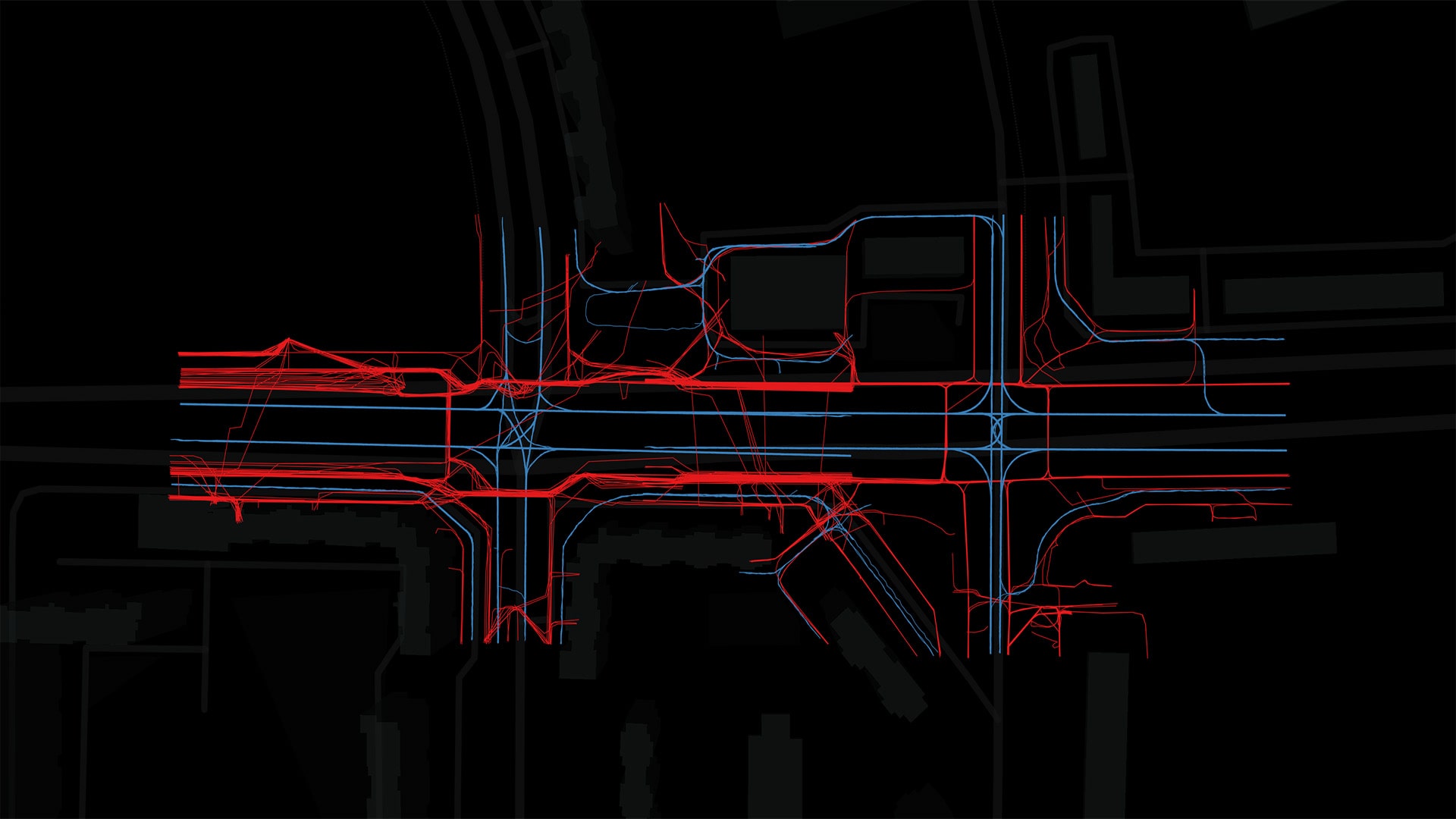
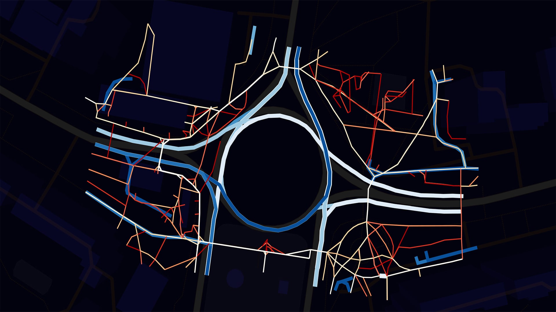
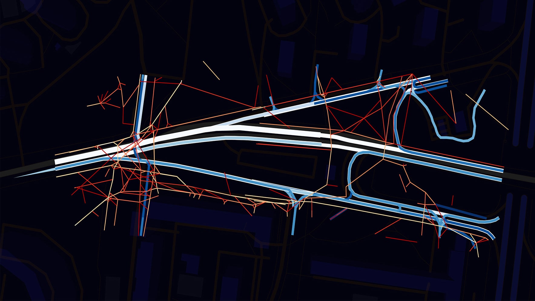
The cabinet team was processing the data received from the field team. Videos were organised into a database and processed by a neural network. The neural network identified objects on video and classified them as ‘pedestrian’, ‘cyclist’, ‘passenger car’, ‘truck’, ‘public transport’; afterwards it tracked objects on the video; visualised pedestrian and transport moving tracks and mapped them. At the final stage of data analysis, the neural network clustered tracks into master tracks (representative tracks of pedestrian and car movement).
The research took 26 days. A comprehensive pre-project study of the pedestrian and traffic flows in Moscow allowed us to analyse the road networks usage in more than 300 hubs and present an information about the city traffic in the form of detailed maps and text tables. The neural network processed more than one and a half thousand video fragments, visualised data from more than a million pedestrians, forty thousand cyclists, and one and a half million vehicles.