CITY TRAFFIC RESEARCH
A field study of traffic flows in the Svobodny City (Amur Region) was a part of the comprehensive examination of the current state of the city aimed at the elaboration of a spatial developmental strategy and spatial regulations.
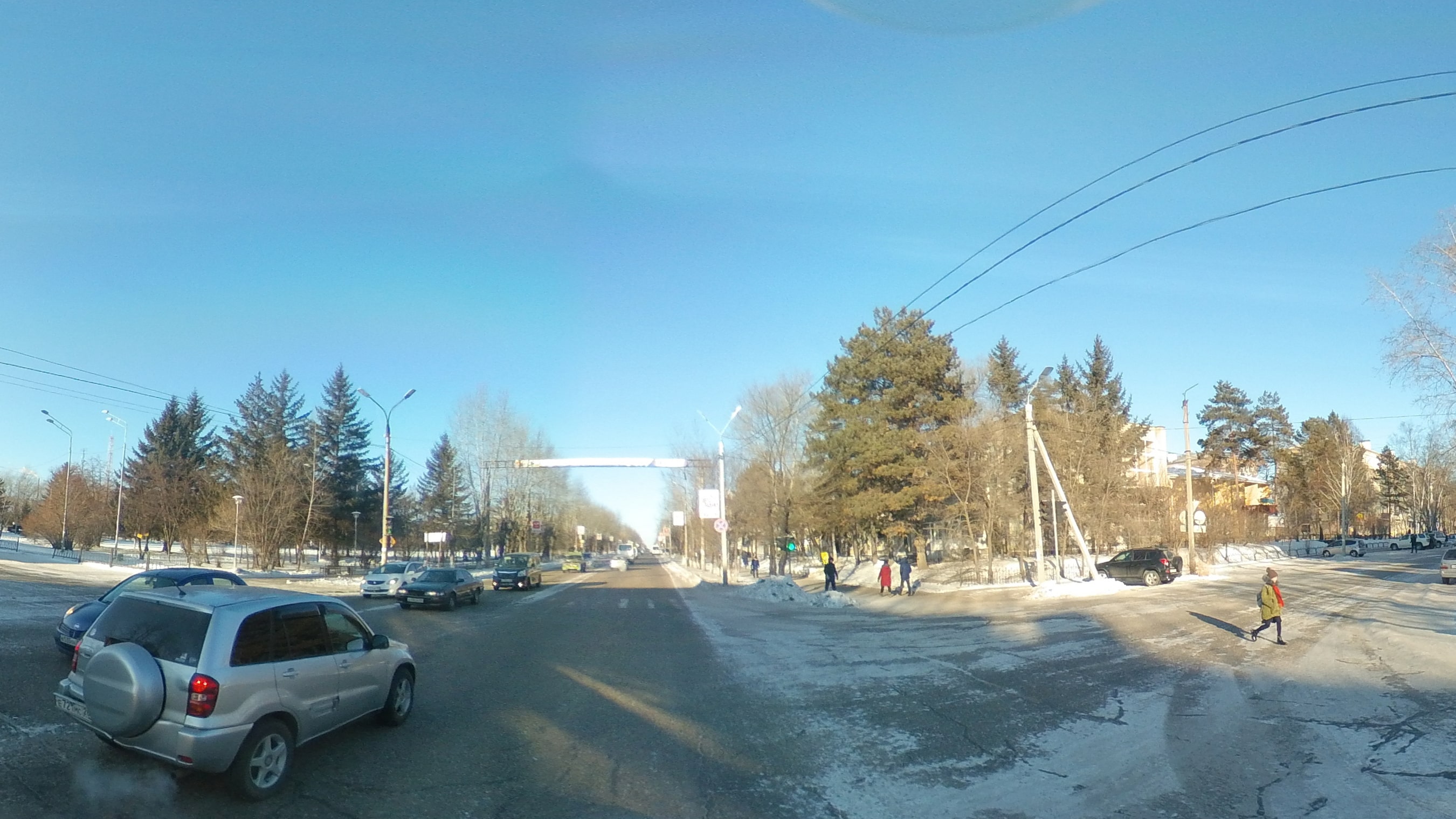
The research results that show the traffic of pedestrian and vehicle intensity while taking into account the traffic direction at rush hours on weekdays and weekends are presented in a form of vector graphics, panoramic images of the city and data tables. The main research tools were mobile and stationary ground-based data collection devices (360º panoramic cameras), computer vision and mapping algorithms.
ELABORATION OF DEVELOPMENTAL STRATEGIES
The collected data about pedestrian and traffic flows laid the foundation for creating a map that illustrates the daily patterns of people movement between urban and suburban areas. Results of a comprehensive examination of the current state of Svobodny that encompassed a field research of pedestrian and traffic flows, allowed the elaboration of spatial regulations and spatial developmental strategies. Introduction of pedestrian and vehicle traffic data into urban development scenarios can increase the citizens mobility and make their movement around the city more comfortable and safe.
PEDESTRIANS
TRANSPORTATION
EXTREME CONDITIONS
Field data was collected in 31 points for 15 minutes each in rush hours (8:00–11:00 and 17:00–19:00 on weekdays and 11:00–16:00 on weekends) from 2nd to 5th December (from Saturday to Tuesday). The average air temperature in December in Svobodny is -24C. The specific climate conditioned the necessity to carry out research in severe cold: the annual average air temperature does not rise above zero. Therefore the data obtained can be considered indicative for almost nine months per year in the area.
RESEARCH RESULTS
Research showed that an average speed in the city is low. In central districts where the main streets and low-rise residential buildings are located max. speed is under 50 km/h. It can be explained with the organisation of street and read network: in the city center crossroads occur each 300–350 meters. On the bypass road the average speed in noticeably higher and might reach 80–90 km/h. At the many researched points of the Svobodny bypass road, heavy vehicles prevail over cars.
The largest number of pedestrians was recorded on the main street of the city which is the sLenin St. The most loaded section of the Lenin St. is located between the 40 years of October St. and Pochtamptskaya St. Despite low temperatures, almost 1000 people pass 40 let Oktyabrya street. crossroad. The other overloaded point was detected at the crossroad of Lazo St. and Oktyabrskaya St. In the remaining sections of the Svobodny road network, pedestrian flows are moderate or poor